
Glossary: Terms, at a glance.
Point clouds, BIM, GIS, and other terms from 3D scanning, in the order space becomes value.
Capture
A device that sends laser light in every direction and works out distances from the light that returns, recording the space as points. Some sit on a tripod; others are carried by hand.
Related: CaptureLight Detection and Ranging: measuring distance with laser light. Used in 3D laser scanners and in some phones and cameras.
Related: CapturePhotographing everything around a point, so you can walk through the place on screen.
Related: CapturePositioning with signals from satellites; GPS is one such system. The signals do not reach underground or inside tunnels.
Related: CaptureThe official coordinate system used by maps in Japan, such as the Japan Plane Rectangular Coordinate System. Data placed in it can be overlaid on data scanned on another day or at another site.
Related: CaptureA culvert carries sewage or water underground; box-shaped ones are called box culverts. A manhole is the vertical shaft from the street down into it.
Related: CapturePoints
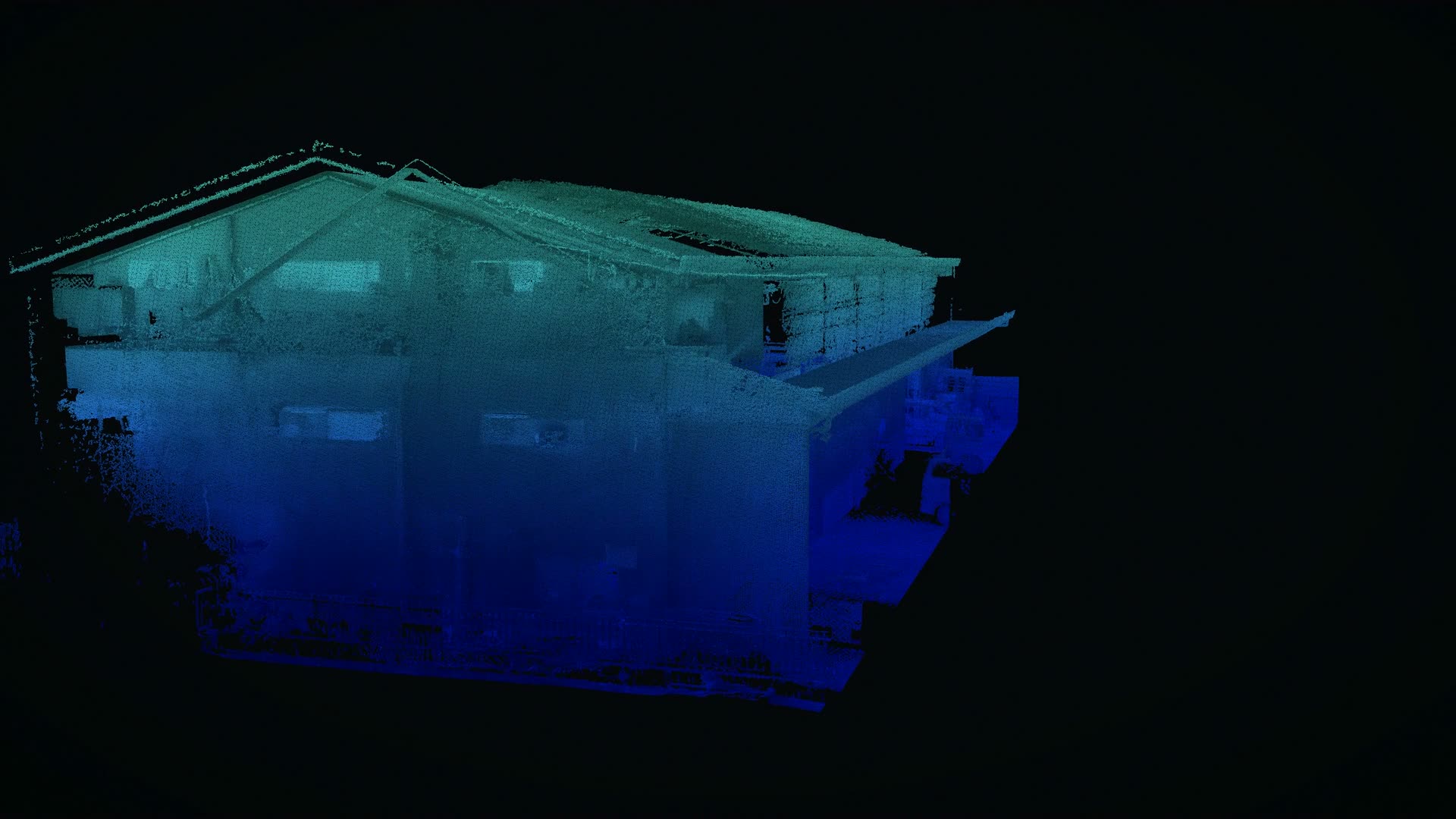
A set of points, each with a position (X, Y, Z) and a color, captured by a 3D laser scanner or similar. Hundreds of millions of points record the shape of a building or plant as it is, and unlike a photo, you can take any measurement from it later.
Related: CaptureJoining point clouds scanned from several positions into one, using the areas where they overlap.
Related: CaptureCommon file formats for point clouds. Most point cloud software and CAD can open them.
Related: CaptureA faithful copy of a real building or plant in data. You can check things without going on site, and try changes before making them.
Related: TopConvert
BIM is a 3D model of a building whose shapes carry information about materials and parts, used from design through maintenance. CIM applies the same idea to civil engineering; in Japan the two are often written together as BIM/CIM.
Related: ConvertA shared file format for exchanging BIM data, so it opens across different software.
Related: ConvertA widely used file format for exchanging CAD drawings. Most CAD software can open it.
Related: CADROHA PDF with a 3D model inside. It can be rotated in a supporting viewer such as Adobe Acrobat Reader.
Related: ConvertValue
Comparing two point clouds from different dates to find what changed, and by how much.
Related: AnalyzeA picture that shows the size of a value as color. In change detection, blue to red shows how far things have moved.
Related: AnalyzeAI picking out candidate places to check from point clouds or images. People make the final check.
Related: AnalyzeGeographic information system: managing and analyzing data that has a location by layering it on a map. Point clouds and pipeline records can then be opened from the map.
Related: TENZOHRetrieval-augmented generation: AI that answers by looking things up in your own documents, drawings, and past projects.
Related: BuildContact: A term not on the list?
Ask us about anything not covered here, or anything you would like explained in more depth.