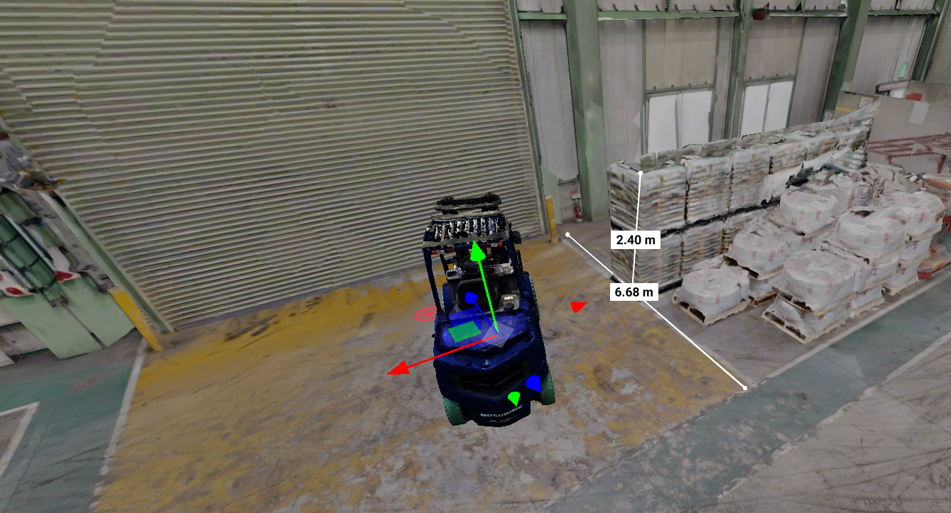
Point cloud of a factory interior with a forklift, showing clearances of 2.40 m and 6.68 m measured to the stacked pallets

Service

Digital transformation
that ignores the factory floor
never sticks.

Recmill starts from hands-on experience with factories, equipment, inspection, and maintenance.
We design the whole system, from capturing the data to running it day to day.

Recmill Inc. Nagoya, Japan Since 2024

What We Solve

Which of the five ways solves your problem?

01 Your site, accurate to the millimeter

We record equipment and structures in precise detail with FARO / Matterport 3D scanning.

02 Any one of the five, on its own

Just the survey. Just the 2D drafting. Just the analysis. You can order any of the five ways on its own.

03 From Capture to Build, end to end

Once we scan it, we handle everything in-house: sharing, 2D drafting, analysis, and putting the knowledge to work.

Service

Ways to use point cloud data.

Capture

Capture

  • 3D laser scanning survey — capturing millimeter-accurate point cloud data
  • Integrated above-ground and underground survey — bringing GNSS-denied sewer pipelines and underground spaces into one dataset in the same national coordinate system
  • 360° photo capture — walk the site from your desk
  • Site conditions — we can also scan factories that are still running, tight spaces, and outdoor sites
FARO FOCUS FARO ORBIS Matterport PRO3
See the survey service Scan-only jobs are welcome. Talk to us
View & Share

Share

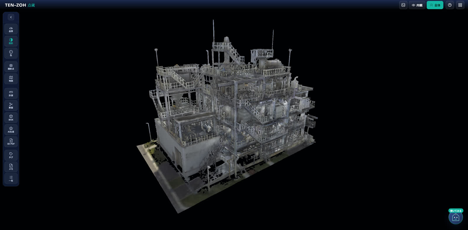
  • TENZOH — our point cloud viewer, running in your browser
  • URL sharing — send a link, and everyone involved can open it
  • GIS integration — tie point clouds to the map and manage them by location
TENZOH GIS integration
See more about TENZOH You can also bring point cloud data you already have. Talk to us
Convert

Convert

  • 2D drawings — plans, sections, and elevations from the point cloud
  • 3D modeling — models you can use for BIM/CIM and layout studies
  • 3D PDF conversion — 3D documents your colleagues can open in Adobe Acrobat Reader, no CAD license needed
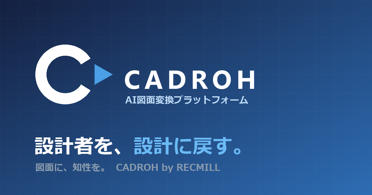
CADROH, AI drawing conversion
See 2D drafting and 3D modeling We can also convert paper and PDF drawings into CAD data. Talk to us
Analyze

Analyze

  • Change detection — compare point clouds captured at different times and show what has changed
  • AI screening — the model flags locations that need a closer look, so you can prioritize inspections
  • Reports delivered — organized into a form you can base decisions on
Change detection AI screening
See the analysis service Ask us about comparing with point cloud data from an earlier survey. Talk to us
Build

Build

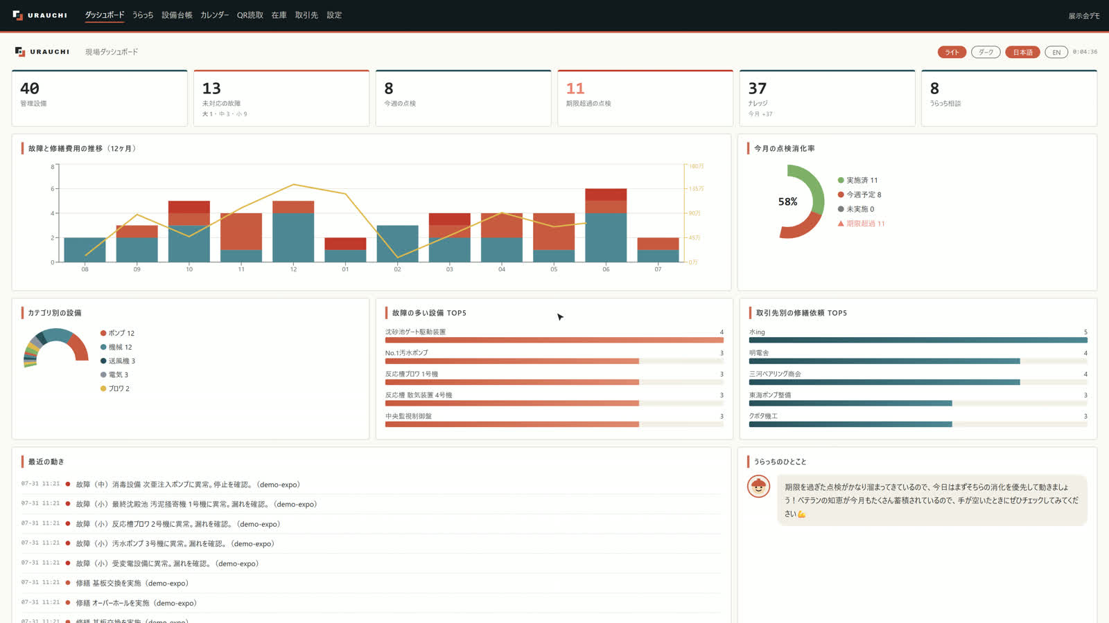
  • URAUCHI — a 3D-linked knowledge base that keeps the why from the field with the equipment it belongs to
  • Custom software development — CAD drawing generation, AI quote drafting, AI for operations management, knowledge retention systems, and more
  • CADROH, AI drawing conversion — turns drawing PDFs into editable DXF files. Learn more
  • Process improvement support — we design how the work will run day to day, and we don't stop at rollout
URAUCHI Custom software development
See data use and development Start with “Can you do this?” Talk to us

These five are the main ones. The order follows the way data flows, not how valuable each one is. Take one on its own, combine several, or talk to us about a use that isn't listed here.

Products

Three products,
born on the factory floor.

Case Study

Track record and case studies

Sewer pipelines scanned
More than 20 km to date
Total area scanned
Over 1,000,000 m²
Coverage
Available nationwide in Japan (projects completed in the Kansai, Tokai, and Kanto regions)
Survey turnaround
In as little as three business days from first contact

As of August 2026 — Sources: FARO case study, published on faro.com / Gekkan Gesuido (Monthly Sewerage), March 2026 issue

Process

We stay with you from the first conversation until the system is part of how the work runs.

  1. 01Discovery

    We map out the problem, the equipment, the workflow, and the data you already have.

  2. 02Capture

    We bring 3D scans, drawings, records, and photos together, site by site.

  3. 03Build

    From the five ways to use point cloud data, we build the combination that fits your goal.

  4. 04Operate

    We stay with you through training, process improvement, and rolling it into your maintenance plan.

Partners

Partners we work with

News

News

FAQ

Frequently asked questions

Where do you work?
We are available nationwide in Japan. We have completed projects in the Kansai, Tokai, and Kanto regions.
Can we order just the survey, or just the 2D drafting?
Yes. You can order any of the five ways on its own. Combine several, or talk to us about a use that isn't listed here.
How long does it take?
Survey turnaround is as little as three business days from first contact. For 2D drafting, analysis, and other work, the timeline depends on the scope, so talk to us.
Can you work with point cloud data we already have?
Yes. You are welcome to bring point cloud data you already have. Ask us about change detection that compares it with point cloud data from an earlier survey.
Can you scan a factory that is still running?
Yes. We scan in a short window without shutting down operations. We can also scan tight spaces and outdoor sites, and we handle GNSS-denied sewer pipelines and underground spaces, bringing above ground and underground into one dataset in the same national coordinate system, the Japan Plane Rectangular Coordinate System (JGD2011).
Contact
Recmill Inc.

4-54 Nohagi-cho, Moriyama-ku,
Nagoya, Aichi 463-0042, Japan

Phone: +81-50-1808-5531
Hours: 9:00–17:00 JST, Mon–Fri

Contact

We've spent our careers on sites like yours. Talk to us.