Solutions built by engineers who have worked on site.
Industries
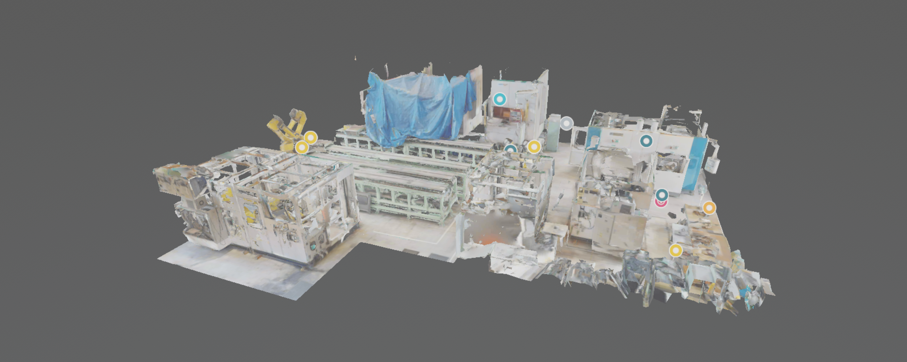
We use data to support smart factories, equipment management, maintenance work, and quality improvement.
We help with inspections of aging assets, retrofit planning, remote review, and better long-term asset management.
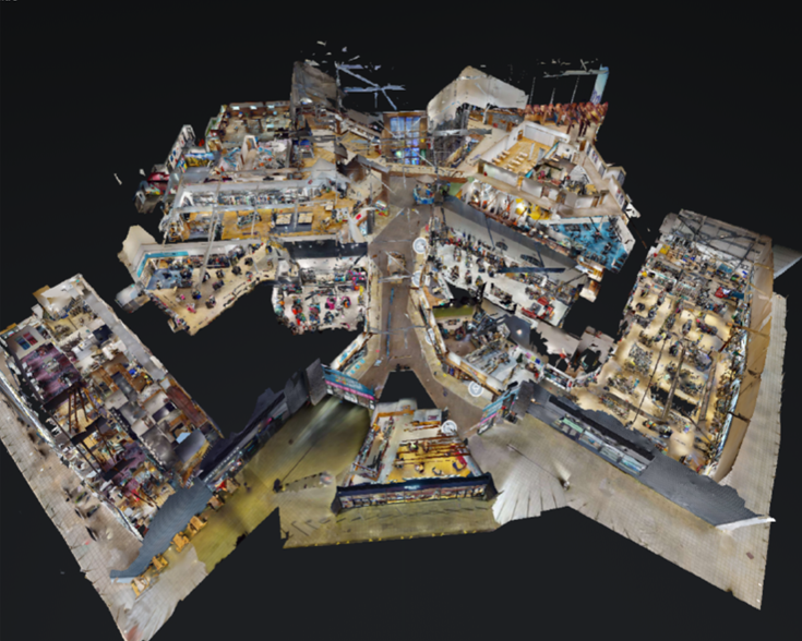
Renovation planning, tenant areas, and equipment layout, all worked out on data that matches what is actually there.
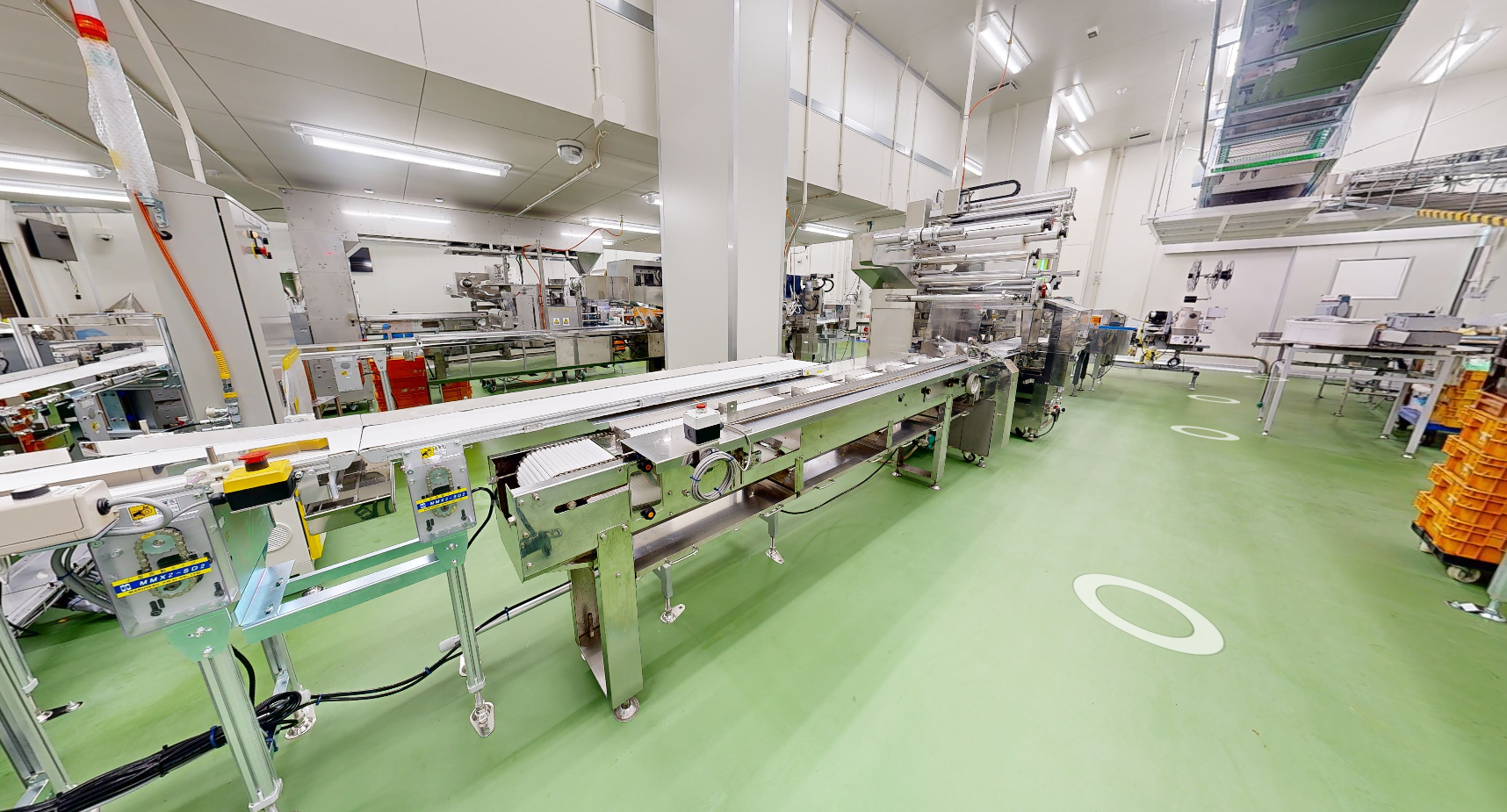
Hygiene zoning, production line replacement, and recording equipment whose drawings no longer match what is there.
Products & Services
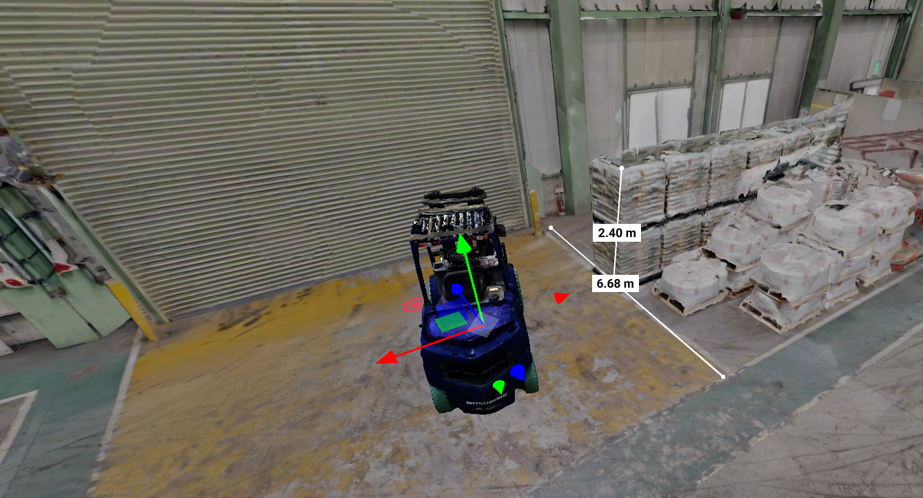
Large point clouds, securely, in a browser. TENZOH, our point cloud viewer, is a cloud platform for sharing 3D scan data from the site through a single URL. It stays responsive on a phone, and it covers measurement, cross sections, tagging, and map integration, through to AI-generated 3D models at real-world scale. We are looking for early test users.
More on TENZOH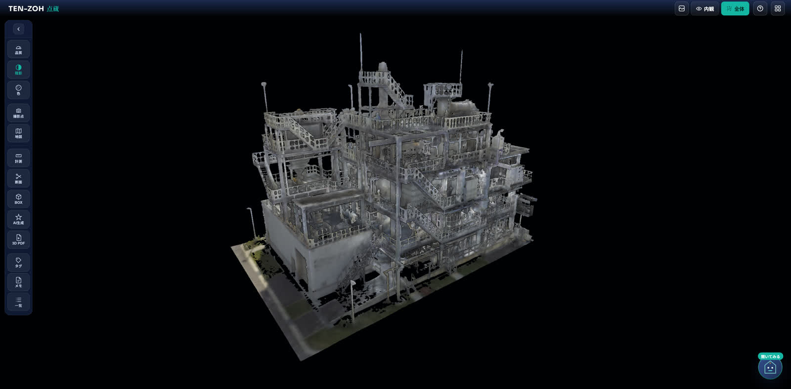
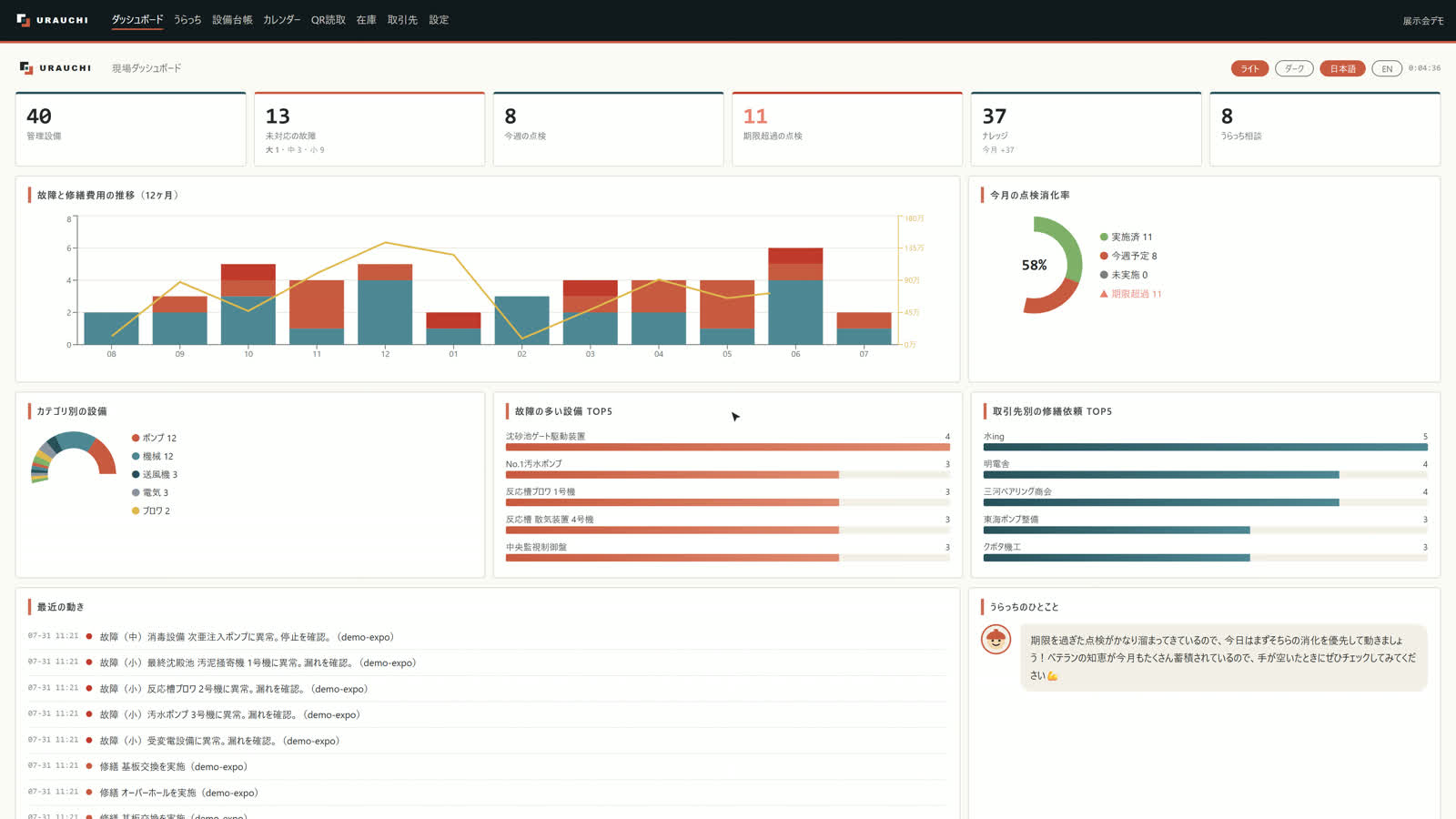

Making the site you already have stronger from behind the scenes. URAUCHI (formerly XSYS) is a knowledge platform for field decisions, backing them up with context and history. It ties an asset register, inspections, breakdown repairs, spare parts inventory, and a conversational AI into one place, so the why that never makes it into a procedure manual stays with the people doing the work.
More on URAUCHI
Put designers back on design work. CADROH is an AI drawing conversion platform: the AI reads a drawing PDF and rebuilds it as a DXF you can edit in CAD. It cross-checks dimensions against the drawing's own overall dimensions, and we deliver the file with red marks only where something needs a closer look. It also handles hand-drawn sheets, diazo blueprints, and old as-built drawings.
More on CADROH
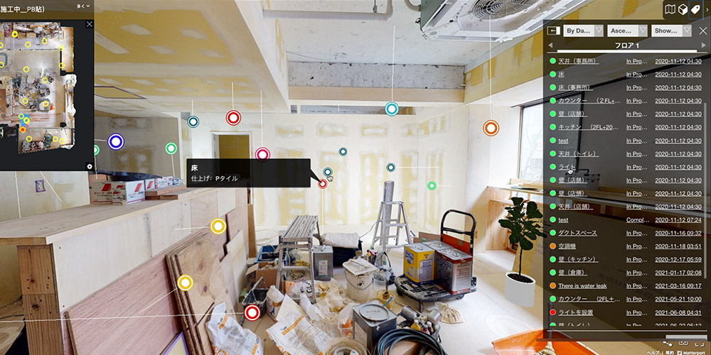

A partner company's product. A BIM/CIM integration platform used to maintain buildings and facilities. It keeps point cloud data and drawings of every kind together in one 3D viewer, and speeds up the work from repair planning through to construction management. We work with them on supplying and integrating the point cloud data.
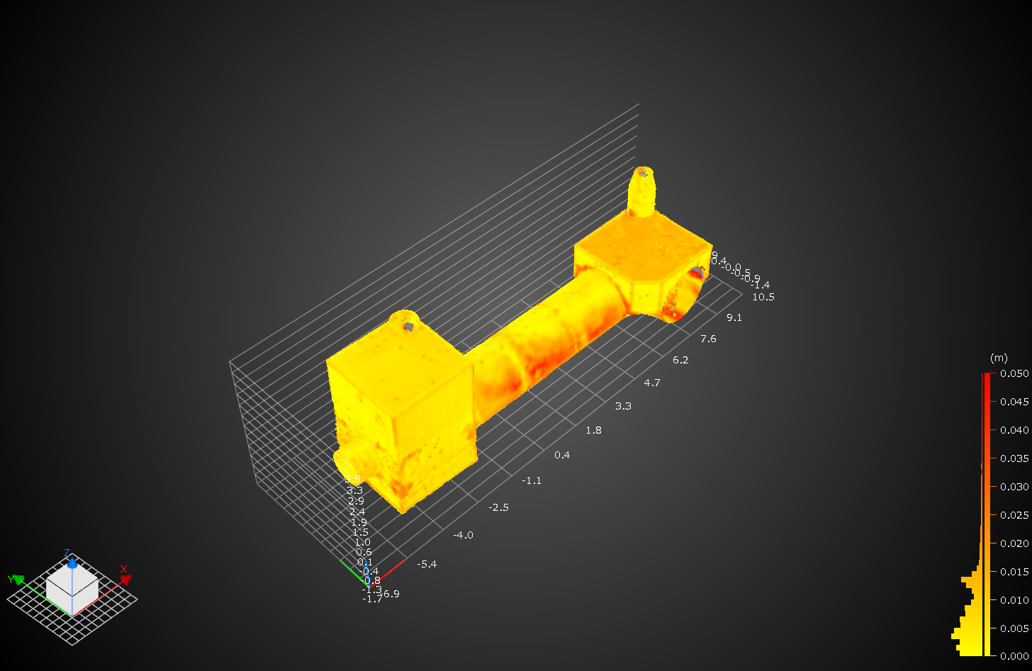
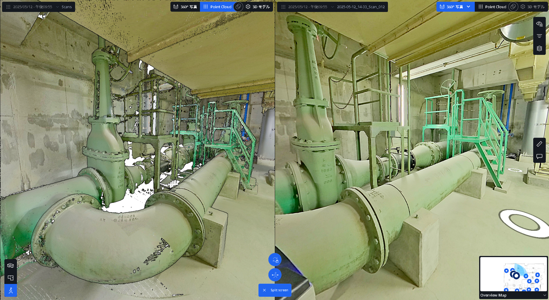
We capture the space as millimeter-accurate data with high-precision 3D laser scanners. You can use the data for existing-conditions drawings, retrofit design, equipment simulation, and more.
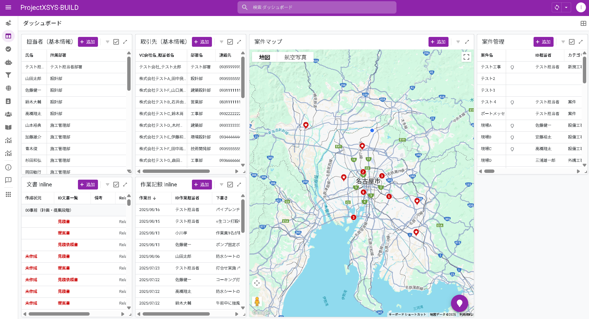
Custom software development, shaped around your own operations. When an off-the-shelf product cannot solve a problem that is specific to you, we build software to order.